Make sure to plan your route ahead of time and execute the following procedures:
- Group each capture into 10-20 poles (10-20 minutes per capture), this ensures the best accuracy and faster processing.
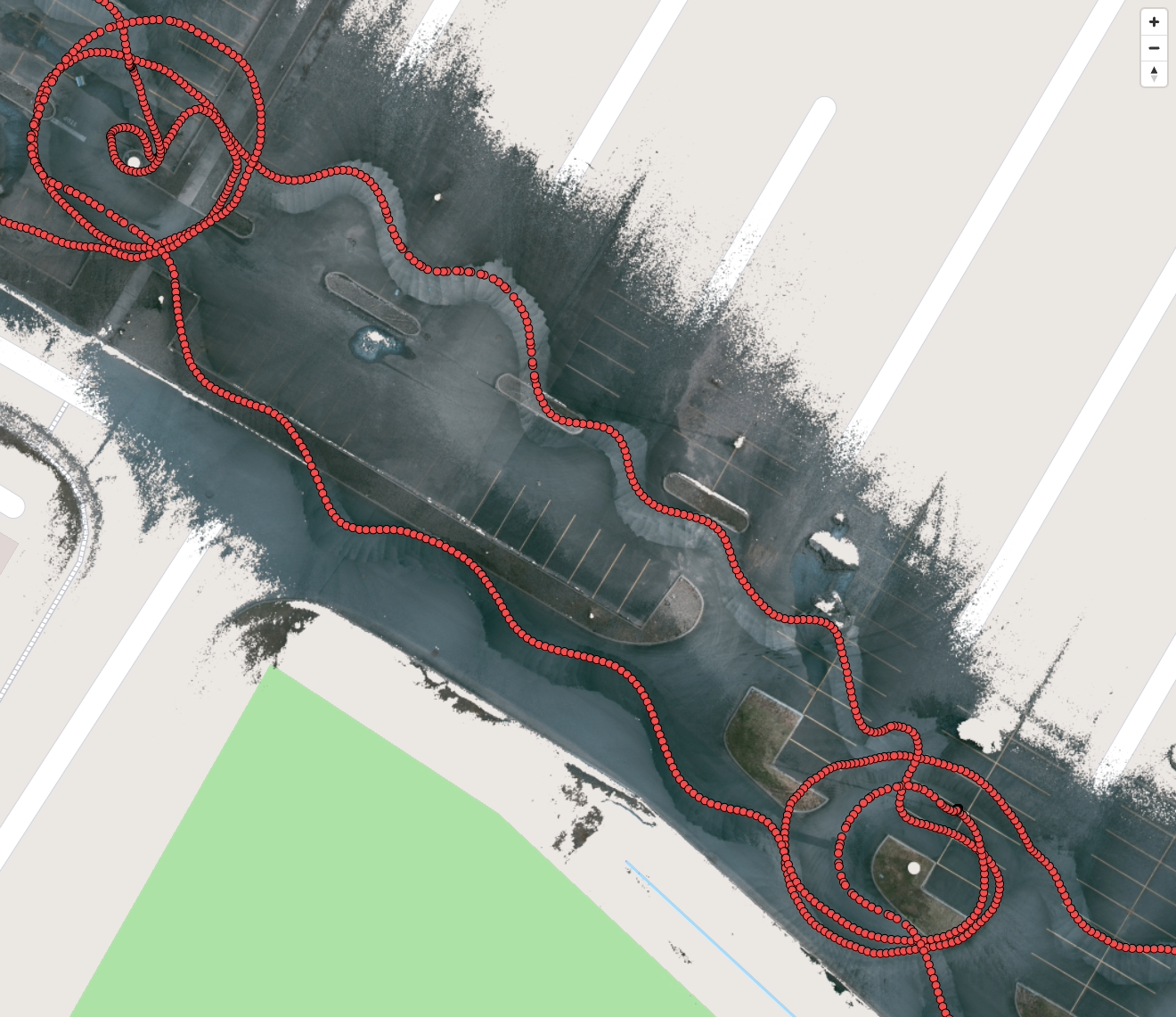
- Start a capture roughly 15 meters (50 feet) back from the first pole, walking offset from the overhead line (not directly under the overhead line), approach the pole until you are 8 meters (25 feet) from the base of the pole.
- While walking offset from the overhead lines, walk in a snaking pattern (see images below).
- Once you reach a pole, begin walking around the pole twice ideally, (a 360-degree orbit) with the front of the qCam pointed towards the pole at all times as shown and walk back on the other side of the lines if possible, in the image below:
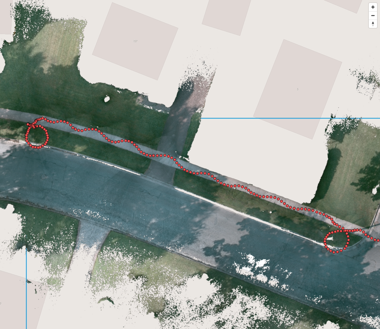
- If you are unable to access both sides of the line, follow a similar pattern to the image below:
- Look at your screen to verify that you are capturing as much of the height of the pole as safely possible.
- If pole data is important for your application, approach the base of the pole while orbiting and point the front qCam at the tag of interest from 30 centimeters (12 inches) away, then wait 2 seconds before moving on.
- When the orbit is complete, double back on your path and begin moving towards the next pole.
- When moving between poles walk offset from the overhead lines, this ensures that there is minimal obfuscation of lines that may be stacked over top of each-other.